智慧交通全面介紹

0
13724

智慧交通是指以交通為基礎的服務系統。 現代電子資訊技術. 以收藏為主要特點, 加工, 釋放, 交換, 分析並利用數據, 智慧交通可以為交通參與者提供多樣化的服務. 本文為您全面介紹智慧交通.

1. 什麼是智慧交通?
什麼是智慧交通

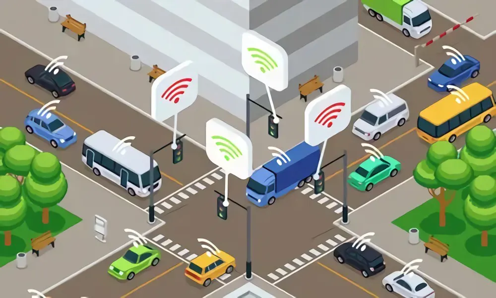
智慧交通是指以現代電子資訊技術為基礎的面向交通的服務系統. 以收藏為主要特點, 加工, 釋放, 交換, 分析並利用數據, 智慧交通可以為交通參與者提供多樣化的服務; 基於智慧交通 (簡稱ITS), 智慧交通充分利用物聯網, 雲端運算, 網際網路, 人工智慧, 自動控制, 移動技術在交通領域的應用,正在透過高科技收集交通信息, 從而控制, 監控和支援交通管理等全方位領域, 交通和公共旅行, 支撐交通建設全過程. 因此, 它可以為交通系統提供能力(洞察力, 連接性, 分析, 預報, 控制, ETC。) 在不同的地區, 城市乃至更廣闊的時空, 從而確保交通安全, 提高交通基礎設施的效能,提高交通系統的營運效率與管理, 從而確保公共出行順暢和經濟永續成長.

2. 智慧交通的優點和缺點
智慧交通的優點和缺點

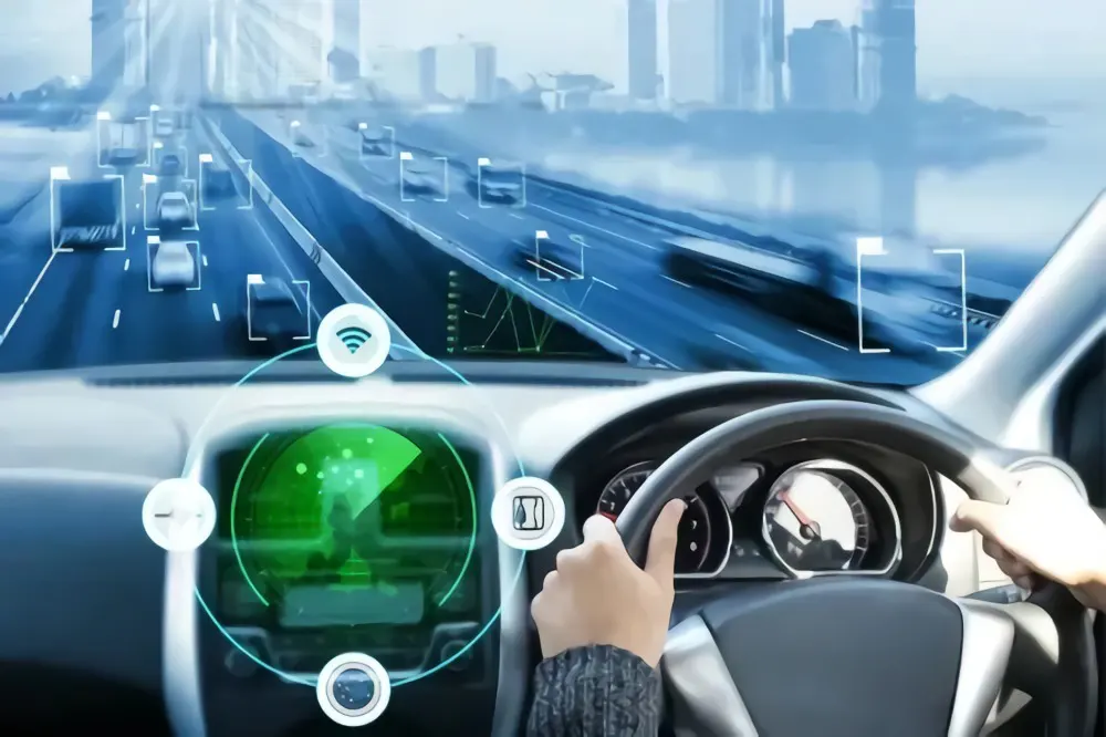
智慧交通有哪些好處?

交通要素: 連接性

交通基礎設施 (道路, 橋樑, 附屬設施, ETC), 運輸設備(汽車, 船舶, ETC), 人和貨物都包含在所有運輸要素中, 所有這些都可以在新型感測器的環境下互連並共享自動控制, AD HOC網路與自動控制技術. 具有多維感知功能, 智慧決策, 遙控, 自動導航, 交通基礎設施和設備能夠實現自動預測和運營.

虛擬與現實、線上與線下的融合

將來, 使用者可以在運輸系統上提出貨物運輸需求, 哪個, 收到需求後, 透過大數據等技術在線分析需求, 雲端運算, and artificial intelligence to come up with relevant transportation strategies and planning, and then hand it over to the offline transportation facilities to complete the actual transport.

門到門綜合運輸

The future transportation system is viewed as an integral transportation service provider. It is unnecessary for customers to understand the transport system’s internal architecture and operation. 反而, they only need to offer transportation demand from A to B. Based on the information, the system will provide a whole set of solutions including the “one ticket system” of ticket sales as well as multimodal transport, seamless connection, continuity and completeness of route concerning the transport party.

為使用者提供適應需求的適應性服務

Under the premise that comprehensive perception, 即時通訊和海量數據分析能力不斷發展, 使用者與系統平台互動更加頻繁、緊密, 讓交通系統更加智能, 可以提供個人化的, 因應實際狀況變化,為各類用戶提供多角化、人性化的交通服務.

運輸生產組織可靠 & 高效率管理

智慧交通包含智慧交通基礎設施, 運輸設備, 運輸組織服務, ETC. 生產組織和管理者有更詳細的, 及時準確地了解各種運輸要素,透過智慧技術更有效地控制和應對各種風險,制定更科學的運輸生產策略, thus offering higher reliability and efficiency to transport production organization and management.

智慧交通的缺點:

The existing traffic management systems, mainly based on manual intervention and management and signal control of crossroads, are deficient in road information collection points. Its vehicles and road management is independent of system operation, leading to imperfect, inaccurate and untimely management. Its main drawbacks include:

非動態

The expensive sensing equipment has limitations on the large range and mass deployment of the intelligent transportation system, as well as less concentration of road information collection on the main nodes of the road network which are mainly intersections. All these limitations lead to the inability to collect all kinds of information in the traffic system in a comprehensive and effective manner so that the exact state of the traffic system cannot be transmitted dynamically and accurately.

非- 全球的

Inside the existing intelligent transportation system, the project planning is independent of the construction of the system. the information collected by each system cannot be interoperable, and the interfaces between systems or devices of different equipment vendors are not open, which results in the ineffective use of the potential coordination effect of traffic information between independent systems to analyze the traffic situation and judgment. 也, it may lead to the repetitive construction of systems and relevant functions, and repetitive collection of data information, thus making the results of the independent system not comprehensive and global.

3. 智慧交通面臨哪些挑戰

the challenges of smart transportation

With the development of urbanization, travel demand is roaring. Cities at home and abroad are in urgent need of a more intelligent traffic system to tackle traffic problems like traffic congestion, traffic accidents, 空氣污染, low transportation efficiency, ETC. People believe that currently, with the growth of digitalization, intelligence and automation of urban smart transportation, there are still three challenges.

第一的, the system lacks the ability to obtain the detection data of the urban road WLAN network. In most cities, the front-end equipment is less unable to percept the road network traffic situation, and there are problems concerning coverage, equipment reliability and data continuity, which is difficult to satisfy the requirements of fine management of traffic police services.

第二, the system is unable to analyze and process new Internet data. With the increasing number of high-frequency and high-precision floating car data and location data, algorithms and products related to signal control need breakthroughs to give full play to the roles of these data.

第三, the system lacks algorithms and big data analysis and computing capabilities. Whether it is signal optimization, road situation analysis, trajectory analysis, or image recognition, all involve the need for advanced algorithm support, as well as large-scale computing capabilities for real-time data.

4. 智慧交通有哪些解決方案

solutions for smart transportation

智慧城市交通整體解決方案

Cities in the future develop themselves in the direction of high intelligence, stressing the use of future technologies to enhance the transformation of urban governance services, so as to achieve efficient, inclusive and sustainable urban development. Cities in the future will be developed into cities that can be perceived, operated, controlled and served. The key point is to build four cities (4C) based on smart transportation and future technology. They are “Perception City”, “online Deduction City”, “Managing City” and “Serving City”.

The first step is to establish a holographic sensing city based on spatial unit big data. 首先, establish the construction standards of smart intersections and smart road sections and promote the construction of a new generation of road holographic perception system with smart roads as the core to achieve multi-level, all-time and even lane-level perception; 第二, conduct dynamic all-rounded monitoring and evaluation of people, vehicles and roads using big data technology and traffic traceability technology. 也, 大數據 + AI technologies are used to support the analysis of traffic congestion mechanisms, traffic event discovery (such as early warning of road hazards), public opinion analysis, daily police patrol, ETC.

The second is to establish an online projection city that supports the reproduction and prediction of traffic scenarios in complex environments. Artificial intelligence and machine learning, equivalent to the establishment of a parallel system, can be used to conduct real-time projection and prediction of traffic operation state, to achieve a whole “perception – projection – control – service” closed loop, which will reshape the entire traffic travel and management mode. 第一的;y, we can provide short-term traffic prediction and path planning services to achieve traffic flow control. We are fully expanding the scope of online simulation in Shenzhen to cover the road network. 最近, heads of the Ministry of Transport reviewed the measure results of the Shenzhen Traffic Center in the city traffic commission command center. They believed the measures are very promising, practical and full of promotional value; 第二, rehearse and simulate the traffic accidents to timely come up with rapid emergency solutions to minimize the impact on urban traffic. Shenzhen traffic center is working with Shenzhen traffic police to carry out a large number of applications, which will create a rapid response to traffic events.

另外, we build a closed-loop control city with collaborative operations of transportation “planning-design-construction-management-data”. We promote the reconstruction and upgrading of the government planning and construction management process and provide overall solutions at the regional level, city level, park level and node level respectively.

第一的, at the regional level, to build a precisely-regulated and control system for active management. 例如, several states in the U.S. utilize the Metropia App to realize the whole process of inducing and rewarding incentives for the people, which has impacted 20% of people to change their travel plans during the peak period. Based on Internet + big data technology, personalized control programs for multiple needs can be developed under the guidance of regional macro control strategies.

第二, at the city level, a city-level transportation big data decision support system is established to support government planning and decision-making, industry operation and management, and public intelligent travel services. For the upcoming driverless era, we need a prospective deployment for future transportation facilities to form new traffic organization modes and city-level control modes such as establishing city-level vehicle networking control centers and comprehensively optimizing future street design concepts. 現在, Shenzhen has already been conducting the exploration application of this in Shenzhen.

第三, the park-level, to use comprehensive perception data of smart parks and distinctive towns to provide comprehensive transportation services for park-level infrastructure construction and enterprise and personal services.

第四, the node-level, integrate cross-industry traffic facilities within roads and achieve road operation control and facility monitoring and maintenance through front-end computing and back-end control.

最後, build a “comprehensive and personalized” city with a full chain of intelligent travel services. With the concept of Maas (Mobility as a service), various transportation modes are highly integrated. 也, through information, operation and payment integration, we can provide users with a full chain of services including before-travel, on-travel to after-travel. 首先, a powerful back-end travel planning system should be established, including behavior analysis, demand configuration, trip planning and cost settlement. 第二, we need the participation of multiple parties including the government, enterprises and people to change the original government-led model. 例如, Finland’s Whim APP and Singapore’s My Transport APP are both government-participated and enterprise-based operations, which can provide different modes of services. 第三, we offer refined bus management services, including intelligent operations of bus stations. 第四, we provide services such as mobile Internet and smart parking guidance with sensorless payment.

5. 智慧交通應用實例
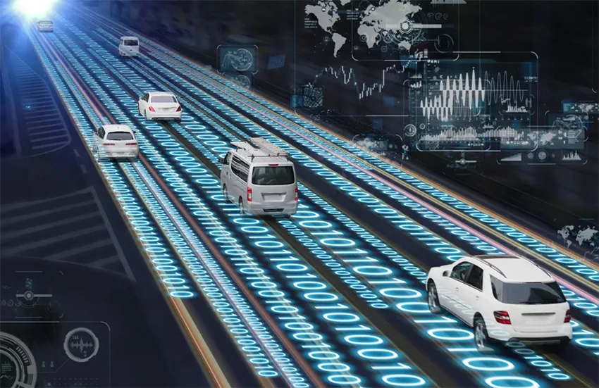
Smart Transport Application Examples

(1) 智慧公車

Based on RFID, sensing as well as other technologies, we can know the real-time location of the bus and achieve functions like bend and route reminder. It can also combine with the operational characteristics of public transportation to conduct planning and scheduling of routes and vehicles through intelligent scheduling systems to achieve intelligent shift scheduling.

(2) 共享單車

The shared bicycle is equipped with a 全球定位系統 或者 窄帶物聯網 smart lock to upload data to the shared service platform so as to achieve accurate vehicle positioning, real-time control of vehicle operation status and so on.

(3) 車聯網

Use advanced sensors, RFID and cameras to collect information about the vehicle’s surroundings and the vehicle itself. Then the data is transmitted to the onboard system to monitor the vehicle’s real-time operating status including fuel consumption, 行駛速度, ETC.

(4) 充電站

Use sensors to collect information such as charging station power, status monitoring and charging station location, and then transmit the collected data to the data platform in real-time to achieve unified management and other functions.

(5) 智慧交通燈

Use a radar device installed at the intersection to conduct real-time monitoring of the number of vehicles, car distance and speed at the intersection, as well as the number of pedestrians and weather conditions to dynamically regulate the traffic light signal, improve the intersection vehicle throughput and reduce the traffic signal idle time so as to improve the carrying capacity of the road.

(6) 汽車電子識別

The automobile electronic sign, also called electronic license plate, is using 射頻識別技術 to automatically complete vehicle identification and monitoring with no contact, and then connect the collected information with the traffic control system to realize the supervision of vehicles as well as solve traffic hit-and-run problems.

(7) 智慧停車

In the field of urban transportation and travel, smart parking came into being due to limited parking lots and low parking efficiency. Based on the parking resources, smart parking recognizes the license plate, looks for and books the parking spaces and conducts automatic payment by installing devices such as geomagnetic sensors and cameras.

(8) 高鐵非接觸式收費

The camera identifies the license plate information, which then bounds the license plate to WeChat or Alipay. Then the system automatically collects fees through WeChat or Alipay according to the mileage traveled, thus achieving senseless charging to improve passage efficiency and shorten the waiting time of vehicles.

6. 智慧交通系統的例子有哪些?

Examples of Smart Transportation Systems

新加坡—第一位智慧國家部長

在 2014, Singapore became the 1st nation to set up a Smart Nation Minister. 然而, the state conducted smart traffic management more than a decade ago. 在 1998, Singapore introduced an e-road pricing program to take control of traffic congestion. 最近幾年, further investment in smart traffic management has witnessed progress including a transportation development budget of $12 billion launched in 2018, which is largely attributed to a connected infrastructure with sensors for traffic management and preventive support. 然而, the city has also focused on network-connected cars, with plans to launch autonomous buses as early as 2022. The city got a name called KPMG as the 1st one to be ready for self-driving cars. Singapore’s intelligent transportation system, featuring data-rich, is capable of providing real-time traffic warnings to people, making the city one of the least congested cities around the globe.

紐約市 — IESE 城市動態排行榜榜首

Known for its excellent public transport, the city continues innovating through adopting smart transportation systems that have placed it at the top of IESE’s City Dynamics list this year. It has invested in connected infrastructure and adaptive signaling, achieving installing cameras and sensors at more than 10,000 intersections in cities. The city is also innovative with network-connected vehicles, developing the Connected Vehicle Pilot Program to gather and analyze data from network-connected cars for various technologies and applications. The program is going to take advantage of connected vehicle hardware & software to implement V2X programs to boost safety and traffic real-time management.

倫敦—智慧移動生活實驗室成立 & 交通融合

London has taken the lead in 5G infrastructure. London’s Smart Mobility Living Lab (SMLL) has been deployed with the world’s most well-developed urban testbed to offer 5G connectivity to connected and automatic cars. The city will use high-speed 5G to test V2I and V2V capabilities in real environments. O2, the SMLL-enabled mobile operator, reports that the value of 5G to road management systems could reduce the time drivers spend by 10 percent when facing traffic congestion and save £880 million annually and decrease CO2 emissions by 370,000 metric tons per year. The city also launched Sitraffic Fusion, a scheme aimed to control traffic with data received from connected vehicles. The program will be a key feature of London’s real-time optimization system, which has previously managed roads by embedding data from roads, cameras and connected infrastructure.

巴黎—準備走向綠色

Paris is taking efforts to develop public transportation and pedestrian transport. Although the city continues to develop its non-motorized transportation infrastructure, it recognizes the importance of vehicles. To become a green city, Paris is replacing its entire bus system with electric cars. Paris is also concentrated on road safety and traffic management, with a 40 percent reduction in traffic fatalities since 2010. It is advancing its established smart transport system and will invest €100 million to transform its infrastructure to facilitate the mass deployment of network connections and self-driving cars.

北京—中國領先的AV測試

China adopts a centralized approach to smart cities, with more than 800 smart city projects across the country. The country’s intelligent city solutions are estimated at $1100 十億. A prominent example is Beijing, which in 2017 became the 1st Chinese city to put AV tests on public roads. China’s AV market is predicted to be the largest one around the globe. 也, the nation recently has taken advantage of self-driving cars during the pandemic to minimize the delivery of important supplies. Beijing has adopted the method and other connected vehicle technologies as well as embedded sensors and cameras to supervise traffic and road situations. Big data analytics and artificial intelligence are utilized to give impetus to intelligent traffic management systems to continue the operation of the city.

柏林 — 電動車共享與電動車的部署

Berlin adapted its smart city program in 2015 and has continued to make progress in the years since. Its latest mobile project centers on ground sensors at road intersections. The vehicle detection system utilizes wireless technology to provide traffic data for smart traffic management. The city is also paying attention to expanding the presence of electric vehicles and has launched the BeMobility program, which has an estimated budget of more than €9 billion with an aim to deploy electric car sharing and electric vehicles as well as increase the number of cities who can provide charging stations.

首爾——第一個將 5G 用於智慧城市公共交通的城市

Smart transportation was widely applied in Seoul back in 2003. The system increased the number of passengers from 30% 到 70% through advanced intelligent traffic systems, transit management systems and GPS. The city has taken the lead in intelligent transportation, which was established by the World Organization for Smart and Sustainable Cities in 2010 to enhance sustainable growth and export transport solutions. The Metropolitan Government has put money into technology to produce, store, process and use big data to solve urban problems. Its Intelligent Transportation System utilizes sensors around the city to gather data to forecast and avoid traffic congestion. The system also has the following traits to warn citizens of problems and give alternative routes in real-time. To keep with its innovation tradition, the city puts investments in 5G infrastructure and network-connected cars. It intends to install 5G advanced driver assistance systems on buses and cabs using V2X technology and will become the 1st city to take advantage of 5G innovations in public transport.

巴塞隆納—超級運算的智慧移動

Barcelona has always taken the lead in smart mobility. Its supercomputing center launched firstly the CLASS initiative to innovate a new type of software designed to conduct big data analysis of real-time data for intelligent cities, network-connected cars and self-driving vehicles. The city has already adopted a smart traffic management system on the basis of asphalt and infrastructure sensors and plans to use V2X in the future. To develop itself into a V2X technology hub, the city is putting money on 5G infrastructure and a live lab that is taking the lead in designing network-connected and self-driving cars. The achievements in advanced data analytics from CLASS, combined with that of connected cars and 5G infrastructure, are helping Barcelona take the lead in urban mobility.